GEOTECHNICAL ENGINEERING
CORK
HomeGeophysicsSeismic tomography (refraction/reflection)

Seismic Tomography Surveys in Cork: Refraction and Reflection for Subsurface Imaging

Geotechnical engineering with regional judgment.

LEARN MORE

The limestone bedrock beneath Cork City conceals a legacy of karstification that standard borehole investigations often miss. The dissolution of the Waulsortian limestone formation, accelerated by the acidic groundwater of the River Lee valley, creates subsurface voids and pinnacled rockhead profiles that vary dramatically over distances of just a few metres. When we deploy seismic tomography lines across a site in the Marina or docklands area, we are not only mapping the overburden-bedrock interface but also imaging the velocity contrasts that indicate weathered zones, cavities, or collapse features. This geophysical approach delivers a continuous cross-section of P-wave and S-wave velocities, which our processing team converts into engineering parameters—rippability, shear modulus, and Poisson's ratio—directly applicable to foundation design under Eurocode 7 (EN 1997-1:2004) and the Irish National Annex. For projects on the glacial tills and alluvial deposits that dominate the city centre, the combination of refraction for shallow layering and reflection for deeper structure is particularly effective. We integrate these results with invasive testing programs, and for sites where karst risk is identified, we often recommend supplementary MASW surveys to characterize the shear-wave velocity profile to 30 metres for site classification per EN 1998-1.

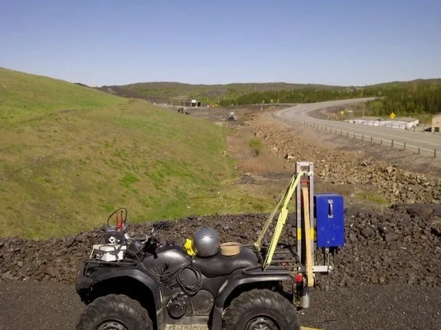
A 2D seismic velocity model can reveal a limestone pinnacle or void that a 5-metre grid of boreholes would completely miss—this is the value of continuous imaging.

Our service areas

Our approach and scope

In Cork we often encounter a specific challenge: the highly variable thickness of the overburden, which ranges from less than 2 metres on the northern limestone ridges to over 25 metres in the buried valleys of the Lee. This contrast forces a flexible acquisition geometry on every project. For shallow bedrock mapping we use hammer and weight-drop sources with 24- or 48-channel seismographs and 2-metre geophone spacing, which yields resolution down to about 0.5 metres at the top of rock. For deeper targets—such as identifying the base of a paleochannel or assessing the depth to competent rock for piled foundations—we switch to a seismic reflection configuration with a common mid-point (CMP) stack, using accelerated weight drop or small explosive sources where permitted. The data processing follows a strict workflow: first-arrival picking with automatic gain control, tomographic inversion using a starting model derived from reciprocal time analysis, and iterative ray tracing until the RMS traveltime residual stabilizes below 1 millisecond. The final deliverable is a 2D velocity model with iso-velocity contours that our geotechnical engineers interpret alongside borehole logs and laboratory test results. Each survey is calibrated with at least one borehole or test pit to anchor the velocity-depth conversion, avoiding the non-uniqueness problem inherent in all geophysical methods.
Seismic Tomography Surveys in Cork: Refraction and Reflection for Subsurface Imaging
Technical reference — Cork

Site-specific factors

The temperate maritime climate of Cork—with over 1,200 millimetres of annual rainfall and a shallow water table that fluctuates seasonally—creates two distinct risks for seismic surveys. The first is signal attenuation in the unsaturated zone: dry, loose alluvium absorbs high-frequency energy, reducing the penetration depth of a hammer source by up to 40 percent compared to surveys conducted in winter when the ground is saturated. The second risk is the misinterpretation of velocity inversions caused by soft clay layers beneath stiffer desiccated crust, a stratigraphy common along the estuarine reaches of the Lee. A single refraction line processed with the intercept-time method will miss the low-velocity layer entirely, producing an overestimate of bedrock depth and an underestimate of settlement potential. Our processing protocol uses tomographic inversion rather than layered interpretation precisely to resolve these hidden low-velocity zones. We also schedule surveys to coincide with ground conditions that maximize source coupling, and we always acquire reciprocal shots and overlapping spreads to ensure continuity across the entire profile.

Need a geotechnical assessment?

Reply within 24h.

Email: contact@geotechnical-engineering.co

Applicable standards

IS EN 1997-2:2007 + Irish National Annex (Ground investigation and testing), IS EN 1998-1:2005 + Irish National Annex (Seismic design, site classification using Vs,30), Geophysical Survey Guidelines from the Institute of Geologists of Ireland (IGI), ASTM D5777-18 (Standard Guide for Seismic Refraction) used as supplementary reference

Reference parameters

ParameterTypical value
MethodSeismic refraction and high-resolution reflection
Depth of investigation5 to 80 metres (refraction); 15 to 300 metres (reflection), depending on source energy
Geophone spacing1 to 5 metres, adjusted for target depth and resolution
Source typeSledgehammer, accelerated weight drop (250 kg), or small explosive charges where permitted
Seismograph channels24 or 48 (Geode or Summit X One), 24-bit A/D, 0.25 ms sampling
Data processingRefraction tomography (ray tracing inversion) and CMP reflection processing (NMO, DMO, stack, migration)
Deliverables2D P-wave and S-wave velocity sections, depth-to-bedrock maps, rippability classification, dynamic elastic moduli
Applicable standardIS EN 1997-2:2007 (Ground investigation and testing) with Irish National Annex

Frequently asked questions

How much does a seismic tomography survey cost in Cork?

The cost of a seismic tomography survey in Cork depends on the line length, source type, and access conditions, but typically ranges from €2,830 to €5,430 for a standard 115-metre refraction line with tomographic processing and a calibrated depth-to-bedrock report. Longer lines, reflection surveys, or difficult urban sites with traffic management requirements will increase the cost. We provide a fixed-price quote after reviewing the site location and project objectives.

What is the difference between seismic refraction and reflection?

Seismic refraction uses critically refracted head waves that travel along velocity boundaries and return to the surface, making it excellent for mapping a high-velocity bedrock surface beneath lower-velocity overburden—the classic Cork situation. Reflection uses near-vertical reflections from acoustic impedance contrasts and can image both velocity increases and decreases with depth, as well as steeper structures. Refraction requires velocity to increase downward; reflection does not. For karst detection in Cork, we often combine both techniques on the same spread.

Can seismic tomography detect caves and voids in limestone?

Yes, but with important caveats. An air-filled void appears as a low-velocity anomaly on a refraction tomogram, but its signature can be subtle—a velocity reduction of 20-30 percent relative to the surrounding competent limestone. The detectability depends on the void's size relative to its depth: a cavity 2 metres in diameter at 10 metres depth is reliably detectable with 2-metre geophone spacing; a 0.5-metre void at 20 metres depth is below the resolution limit. We always recommend cross-validation with borehole data or electrical resistivity tomography for high-confidence karst mapping.

What site preparation is required for a seismic survey in Cork?

We need a clear line of access approximately 1.5 metres wide along the full survey length. Vegetation should be cut to ground level, but tree roots and stumps can remain. Hard surfaces such as asphalt or concrete require drilling through for geophone coupling, which adds time and cost. We handle all traffic management for roadside surveys. For urban sites in Cork city centre, we coordinate with Cork City Council for permits and schedule surveys outside peak traffic hours.

How long does a seismic tomography survey take to complete?

Field acquisition for a 115-metre refraction line with a 48-channel seismograph and hammer source typically takes 3 to 4 hours, including layout, shooting, and equipment retrieval. Processing, tomographic inversion, and interpretation add 3 to 5 working days before the final report is delivered. Reflection surveys with CMP stacking require longer acquisition times—typically 1 to 2 days for a 300-metre line—and an additional week of processing.

Location and service area

We serve projects in Cork and surrounding areas. More info.

View larger map