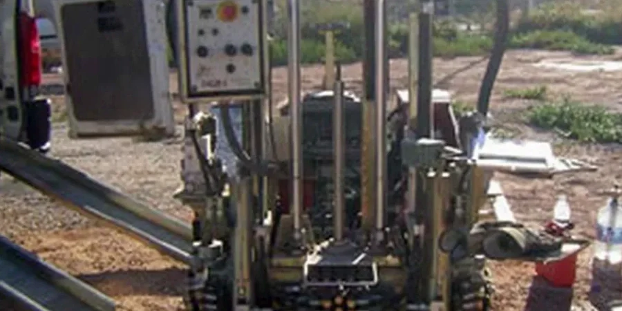
Cork’s development over the last three decades has pushed construction onto the alluvial flats and buried river channels of the River Lee, where soft silts and organic layers sit beneath infill. The medieval core sits on higher gravels, but the docklands and Mahon Peninsula expansions encounter compressible clays that challenge conventional borehole interpretation. A CPT test in Cork therefore becomes essential when you need a continuous, high-resolution strength profile—not just a few disturbed samples. We run the cone from a tracked rig, recording tip resistance, sleeve friction, and pore pressure in real time, which gives us a stratigraphic fingerprint that borehole logs alone cannot match. In projects near the Marina or along the South Link corridor, this data directly feeds into the slope stability analysis for cut-and-fill transitions where soft layers create a hidden failure plane.
A cone tip moving through Cork’s alluvium reads like a barcode—every 20 mm, a data point that shows exactly where the soft layer begins and ends.