GEOTECHNICAL ENGINEERING
CORK
HomeInvestigationExploratory test pit

Exploratory Test Pits in Cork: Site Characterisation That Saves Programme

Geotechnical engineering with regional judgment.

LEARN MORE

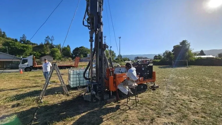
Cork's development pipeline is moving fast, but the ground beneath the new schemes along the Lee Valley and out toward Blarney doesn't always cooperate. The local drift geology, dominated by lodgement till over karstified Waulsortian limestone, can change completely within 20 metres. That is why IS EN 1997-2:2007 requires a defensible ground model before any foundation design proceeds. An exploratory test pit remains the fastest way to verify that model with your own eyes. Our team opens trial pits at the exact locations that matter, logs the stratigraphy against the Irish Soil Classification System, and delivers a factual report that cuts through the guesswork. For engineers dealing with the soft alluvium near the Marina or the perched groundwater common in Douglas, this direct observation is hard to beat. We often combine it with S.P.T. drilling when the competent limestone is deeper than the pit can safely reach.

A single well-logged test pit in Cork's glacial till answers more questions about buildability than a desk study ever will.

Our service areas

Our approach and scope

The glacial till across Cork city centre typically contains a stiff, stony matrix that holds a near-vertical face for hours, but the upper 0.8 metres can be loose made ground full of old quay wall rubble and ceramic waste. That contrast matters for excavation safety and for bearing capacity. In an exploratory test pit we log each horizon in detail, measure in-situ density with a pocket penetrometer, and take bulk disturbed samples for particle size distribution back at the lab. Where the water table is within 1.5 metres of the surface, as it frequently is in the Togher and Tramore Road areas, we note the seepage rate because it directly affects the contractor's dewatering plan. The pit also lets us inspect the limestone bedrock surface for solution features and infilled clay pipes, a karst risk that can easily be missed by borehole-only investigations. When the client needs a bearing capacity estimate right at the base of the test pit, we can run a plate load test on the same day, giving the structural engineer a measured modulus of subgrade reaction instead of a textbook assumption.
Exploratory Test Pits in Cork: Site Characterisation That Saves Programme
Technical reference — Cork

Site-specific factors

The most expensive mistake we see in Cork is a contractor assuming 'one pit per site' is enough. On a 0.2-hectare plot near the Glashaboy River, we once logged dense gravel at the front corner and 1.8 metres of soft organic silt at the rear, just 30 metres away. That project needed a raft foundation redesign after the strip footings were already detailed. Another common error is stopping the pit at 2 metres when the foundation stress bulb reaches 2.5 metres below formation level; a thin soft layer in that last half metre has caused differential settlement claims in several estates north of the N40. An exploratory test pit programme must be positioned with a proper geological desk study, not just a site walkover, and it must go deep enough to prove the ground below the zone of influence. If you only mobilise once, make sure the pits answer the full list of design questions.

Need a geotechnical assessment?

Reply within 24h.

Email: contact@geotechnical-engineering.co

Applicable standards

IS EN 1997-2:2007 (Eurocode 7 – Ground investigation and testing), IS EN ISO 14688-1:2018 (Identification and classification of soil), IS EN ISO 22475-1:2006 (Sampling methods and groundwater measurements), Specification for Ground Investigation (Ireland) – TII Publications

Reference parameters

ParameterTypical value
Typical pit dimensions2.4 m long × 0.8 m wide (adjustable on site)
Maximum practical depth3.5 m in competent till; shallower if shoring required
Sampling methodBulk disturbed bags and hand-carved block samples from each stratum
In-situ testingPocket penetrometer, hand vane, and dynamic cone where applicable
Logging standardIS EN ISO 14688-1:2018 with Irish Soil Classification System
Groundwater recordingSeepage depth, rate, and stabilised level after 20 minutes
Backfill specificationCompacted layer by layer with original arisings or lean mix concrete

Frequently asked questions

What does an exploratory test pit in Cork typically cost?

For a standard programme of two test pits excavated by mechanical digger with full logging, sampling, and a factual report, the fee generally falls between €450 and €660, depending on access constraints and traffic management requirements within the city.

How deep can you go in Cork's glacial till before shoring is needed?

In the stiff, stony lodgement till that covers much of the north side and the ridge toward Sunday's Well, a competent vertical face can hold to 2.8 or even 3.0 metres without support in short-duration exposures. We assess the stability continuously during digging and will stop or shore earlier in looser made ground or saturated silt.

Can a test pit detect karst features in the limestone?

Yes, and this is one of the strongest arguments for including test pits in a Cork investigation. The pit exposes the bedrock surface directly, letting us photograph and measure any open fissures, clay-infilled pipes, or pinnacled rockhead that a borehole might miss or misrepresent. We log these features against the IS EN ISO 14688-1 standard so the structural engineer can decide on necessary ground treatment.

How soon do we receive the pit logs after the fieldwork?

The draft field logs are available on the day of excavation. The final factual report with lab test results and AGS data files is typically issued within three working days, provided all samples have been processed at the accredited laboratory.

Location and service area

We serve projects in Cork and surrounding areas.

View larger map